Westlands Way
Introduction
The photograph on this page of Westlands Way by Ian Capper as part of the Geograph project.
The Geograph project started in 2005 with the aim of publishing, organising and preserving representative images for every square kilometre of Great Britain, Ireland and the Isle of Man.

There are currently over 7.5m images from over 14,400 individuals and you can help contribute to the project by visiting https://www.geograph.org.uk
Westlands Way
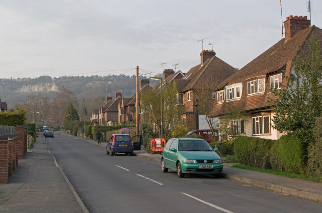
Image: © Ian Capper Taken: 29 Mar 2011
Post war housing off Gordons Way. In the background is Oxted Quarry.
Images are licensed for reuse under creativecommons.org/licenses/by-sa/2.0
Image Location
Latitude
51.264511
Longitude
-0.014539