Footpath & Power Lines
Introduction
The photograph on this page of Footpath & Power Lines by Glyn Baker as part of the Geograph project.
The Geograph project started in 2005 with the aim of publishing, organising and preserving representative images for every square kilometre of Great Britain, Ireland and the Isle of Man.

There are currently over 7.5m images from over 14,400 individuals and you can help contribute to the project by visiting https://www.geograph.org.uk
Footpath & Power Lines
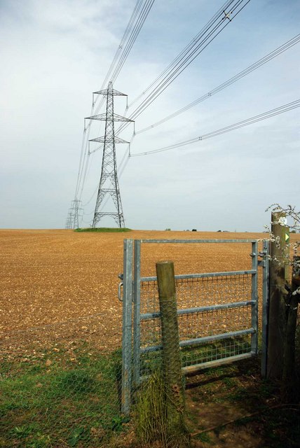
Image: © Glyn Baker Taken: 2 Apr 2011
The footpath to St Andrew's Church bears right along the fence line on the other side of the gate.
Images are licensed for reuse under creativecommons.org/licenses/by-sa/2.0
Image Location
Latitude
51.927969
Longitude
0.727789