Debdale Lock, Staffs & Worcs Canal, near Cookley
Introduction
The photograph on this page of Debdale Lock, Staffs & Worcs Canal, near Cookley by P L Chadwick as part of the Geograph project.
The Geograph project started in 2005 with the aim of publishing, organising and preserving representative images for every square kilometre of Great Britain, Ireland and the Isle of Man.

There are currently over 7.5m images from over 14,400 individuals and you can help contribute to the project by visiting https://www.geograph.org.uk
Debdale Lock, Staffs & Worcs Canal, near Cookley
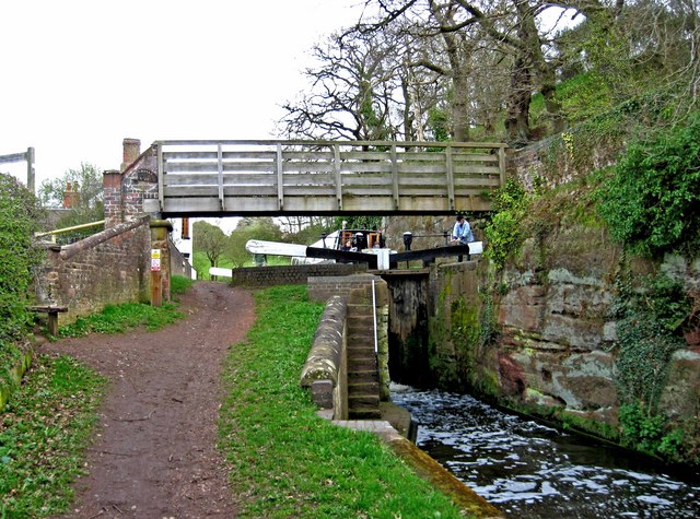
Image: © P L Chadwick Taken: 2 Apr 2011
A footpath continues from the bridge up to Cookley Playing Fields. In the other direction it goes to Kingsford Forest Park.
Images are licensed for reuse under creativecommons.org/licenses/by-sa/2.0
Image Location
Latitude
52.419465
Longitude
-2.236395