Bridleway junction on Wood Hill
Introduction
The photograph on this page of Bridleway junction on Wood Hill by David Anstiss as part of the Geograph project.
The Geograph project started in 2005 with the aim of publishing, organising and preserving representative images for every square kilometre of Great Britain, Ireland and the Isle of Man.

There are currently over 7.5m images from over 14,400 individuals and you can help contribute to the project by visiting https://www.geograph.org.uk
Bridleway junction on Wood Hill
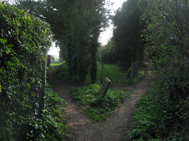
Image: © David Anstiss Taken: 27 Mar 2011
A bridleway from Chalk Hill Road leads left towards Victoria Road (track to Free Down). Another bridleway leads right to Free Down via Barrows Hill.
Images are licensed for reuse under creativecommons.org/licenses/by-sa/2.0
Image Location
Latitude
51.180438
Longitude
1.393363