Ashburton Playing Fields, east of Coleridge Road, CR0
Introduction
The photograph on this page of Ashburton Playing Fields, east of Coleridge Road, CR0 by Mike Quinn as part of the Geograph project.
The Geograph project started in 2005 with the aim of publishing, organising and preserving representative images for every square kilometre of Great Britain, Ireland and the Isle of Man.

There are currently over 7.5m images from over 14,400 individuals and you can help contribute to the project by visiting https://www.geograph.org.uk
Ashburton Playing Fields, east of Coleridge Road, CR0
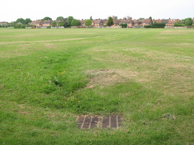
Image: © Mike Quinn Taken: 26 May 2010
The grill marks the course of a drain feeding into the St. James Stream, a tributary of the Chaffinch Brook.
Images are licensed for reuse under creativecommons.org/licenses/by-sa/2.0
Image Location
Latitude
51.385968
Longitude
-0.054127