Road Beside Linn of Muick
Introduction
The photograph on this page of Road Beside Linn of Muick by Martin Addison as part of the Geograph project.
The Geograph project started in 2005 with the aim of publishing, organising and preserving representative images for every square kilometre of Great Britain, Ireland and the Isle of Man.

There are currently over 7.5m images from over 14,400 individuals and you can help contribute to the project by visiting https://www.geograph.org.uk
Road Beside Linn of Muick
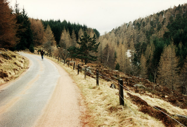
Image: © Martin Addison Taken: Unknown
View of the road running up Glen Muick from Ballater to Spittal of Muick. The Linn of Muick waterfall is visible through the trees on the right.
Images are licensed for reuse under creativecommons.org/licenses/by-sa/2.0
Image Location
Latitude
56.992298
Longitude
-3.099409