Confluence at Malin Bridge
Introduction
The photograph on this page of Confluence at Malin Bridge by Graham Hogg as part of the Geograph project.
The Geograph project started in 2005 with the aim of publishing, organising and preserving representative images for every square kilometre of Great Britain, Ireland and the Isle of Man.

There are currently over 7.5m images from over 14,400 individuals and you can help contribute to the project by visiting https://www.geograph.org.uk
Confluence at Malin Bridge
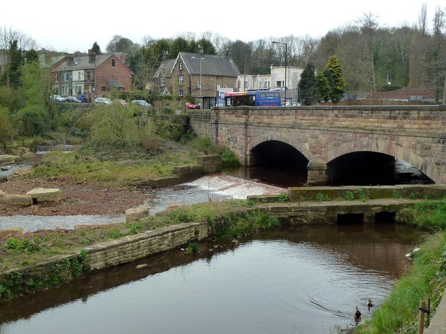
Image: © Graham Hogg Taken: 4 Apr 2011
The River Rivelin (on the left) joins the River Loxley here.The Loxley continues for another mile before it joins the River Don.
Images are licensed for reuse under creativecommons.org/licenses/by-sa/2.0
Image Location
Latitude
53.399888
Longitude
-1.51177