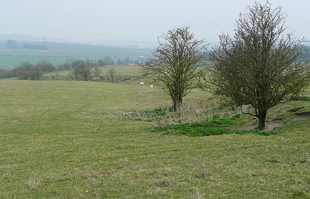
Durrington Walls
Introduction
The photograph on this page of Durrington Walls by Graham Horn as part of the Geograph project.
The Geograph project started in 2005 with the aim of publishing, organising and preserving representative images for every square kilometre of Great Britain, Ireland and the Isle of Man.
There are currently over 7.5m images from over 14,400 individuals and you can help contribute to the project by visiting https://www.geograph.org.uk

Image: © Graham Horn Taken: 26 Mar 2011
Looking from west to east across the south part of Durrington Walls. This is a huge earth banked circle, far larger than the more famous nearby Stonehenge or Woodhenge. It is thought to have housed a Neolithic settlement of a few thousand people, the largest of its kind in North-West Europe. It features an avenue aligned to the winter solstice and is believed to have been a complementary site to the earliest phases of Stonehenge. One theory is that the Stonehenge users lived here, and the link between them along the River Avon represents the transition from life to death.

