Spraysbridge Farmhouse
Introduction
The photograph on this page of Spraysbridge Farmhouse by Oast House Archive as part of the Geograph project.
The Geograph project started in 2005 with the aim of publishing, organising and preserving representative images for every square kilometre of Great Britain, Ireland and the Isle of Man.

There are currently over 7.5m images from over 14,400 individuals and you can help contribute to the project by visiting https://www.geograph.org.uk
Spraysbridge Farmhouse
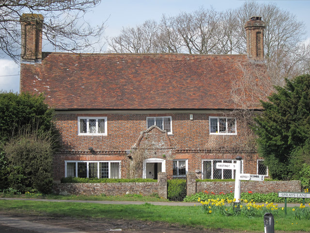
Image: © Oast House Archive Taken: 3 Apr 2011
Grade II listed six bedroom farmhouse, dated 1690. Currently rented out.
Images are licensed for reuse under creativecommons.org/licenses/by-sa/2.0
Image Location
Latitude
50.916312
Longitude
0.558342