Grant
Introduction
The photograph on this page of Grant by Rob Burke as part of the Geograph project.
The Geograph project started in 2005 with the aim of publishing, organising and preserving representative images for every square kilometre of Great Britain, Ireland and the Isle of Man.

There are currently over 7.5m images from over 14,400 individuals and you can help contribute to the project by visiting https://www.geograph.org.uk
Grant
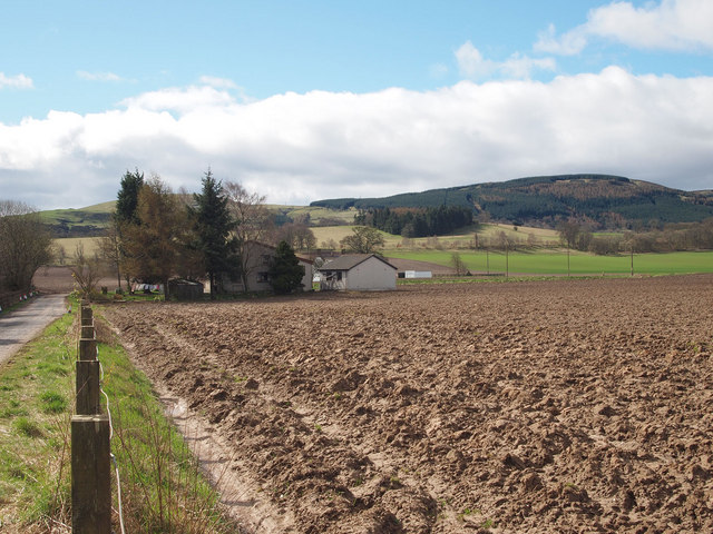
Image: © Rob Burke Taken: 2 Apr 2011
A drive runs south beside the M90 to the houses at Grant. The field is newly ploughed. West Dron Hill is on the skyline.
Images are licensed for reuse under creativecommons.org/licenses/by-sa/2.0
Image Location
Latitude
56.337039
Longitude
-3.399771