Picnic area near Gogerddan
Introduction
The photograph on this page of Picnic area near Gogerddan by Nigel Callaghan as part of the Geograph project.
The Geograph project started in 2005 with the aim of publishing, organising and preserving representative images for every square kilometre of Great Britain, Ireland and the Isle of Man.

There are currently over 7.5m images from over 14,400 individuals and you can help contribute to the project by visiting https://www.geograph.org.uk
Picnic area near Gogerddan
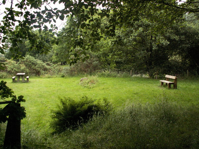
Image: © Nigel Callaghan Taken: 2 Jul 2005
Picnic area adjacent to recreational forest trail established through Forest Enterprise woodland.
Images are licensed for reuse under creativecommons.org/licenses/by-sa/2.0
Image Location
Latitude
52.435056
Longitude
-4.010798