Michael's Road bus stop, Blaencwm
Introduction
The photograph on this page of Michael's Road bus stop, Blaencwm by Jaggery as part of the Geograph project.
The Geograph project started in 2005 with the aim of publishing, organising and preserving representative images for every square kilometre of Great Britain, Ireland and the Isle of Man.

There are currently over 7.5m images from over 14,400 individuals and you can help contribute to the project by visiting https://www.geograph.org.uk
Michael's Road bus stop, Blaencwm
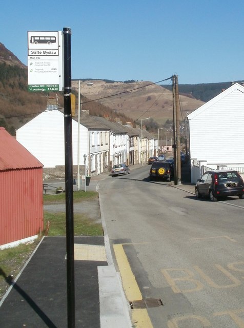
Image: © Jaggery Taken: 23 Mar 2011
The bus stop is at the edge of a turning circle at the end of route 120 to and from Caerphilly via Tonypandy and Pontypridd. The sign shows that on Sundays, the stop is served by route 130 to and from Porth via Tonypandy. Ahead are houses on Michael's Road.
Images are licensed for reuse under creativecommons.org/licenses/by-sa/2.0
Image Location
Latitude
51.676631
Longitude
-3.564799