South Norwood Country Park (6)
Introduction
The photograph on this page of South Norwood Country Park (6) by Mike Quinn as part of the Geograph project.
The Geograph project started in 2005 with the aim of publishing, organising and preserving representative images for every square kilometre of Great Britain, Ireland and the Isle of Man.

There are currently over 7.5m images from over 14,400 individuals and you can help contribute to the project by visiting https://www.geograph.org.uk
South Norwood Country Park (6)
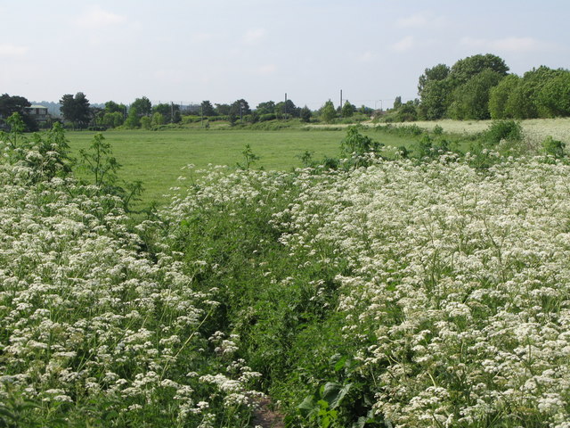
Image: © Mike Quinn Taken: 25 May 2010
According to the 1940s OS map http://wtp2.appspot.com/wheresthepath.htm?lat=51.39542513467331&lon=-0.05528528722230477&gz=14&oz=8>=6 much of this area was a sewage farm.
Images are licensed for reuse under creativecommons.org/licenses/by-sa/2.0
Image Location
Latitude
51.395063
Longitude
-0.054891