White House Farm, Screveton
Introduction
The photograph on this page of White House Farm, Screveton by Jonathan Thacker as part of the Geograph project.
The Geograph project started in 2005 with the aim of publishing, organising and preserving representative images for every square kilometre of Great Britain, Ireland and the Isle of Man.

There are currently over 7.5m images from over 14,400 individuals and you can help contribute to the project by visiting https://www.geograph.org.uk
White House Farm, Screveton
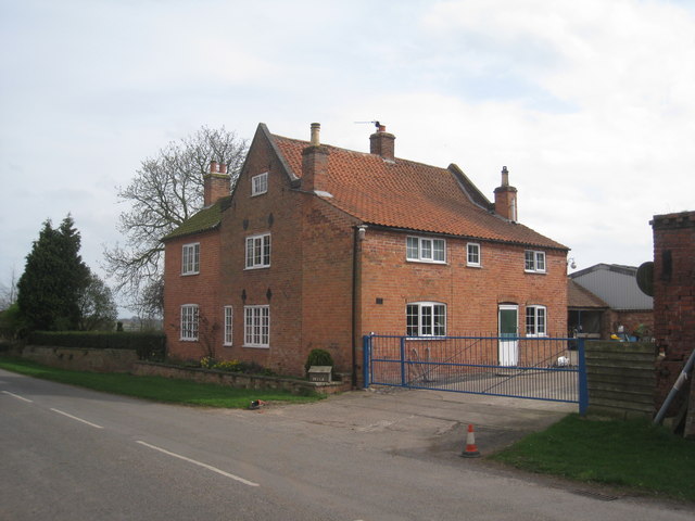
Image: © Jonathan Thacker Taken: 1 Apr 2011
This is a building which has been extended at least three times (there is a twentieth century extension at the rear).
Images are licensed for reuse under creativecommons.org/licenses/by-sa/2.0
Image Location
Latitude
52.985519
Longitude
-0.906767