Road Junction
Introduction
The photograph on this page of Road Junction by Mr Biz as part of the Geograph project.
The Geograph project started in 2005 with the aim of publishing, organising and preserving representative images for every square kilometre of Great Britain, Ireland and the Isle of Man.

There are currently over 7.5m images from over 14,400 individuals and you can help contribute to the project by visiting https://www.geograph.org.uk
Road Junction
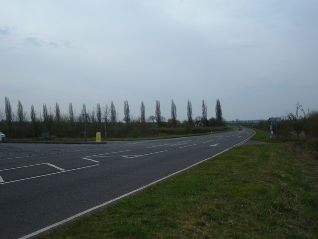
Image: © Mr Biz Taken: 2 Apr 2011
This junction is the path of the original road, bending off to the left. The main road continues up towards the Science park and Airport, bypassing Cranfield village.
Images are licensed for reuse under creativecommons.org/licenses/by-sa/2.0
Image Location
Latitude
52.055872
Longitude
-0.634836