Tooting Bec Common
Introduction
The photograph on this page of Tooting Bec Common by Marathon as part of the Geograph project.
The Geograph project started in 2005 with the aim of publishing, organising and preserving representative images for every square kilometre of Great Britain, Ireland and the Isle of Man.

There are currently over 7.5m images from over 14,400 individuals and you can help contribute to the project by visiting https://www.geograph.org.uk
Tooting Bec Common
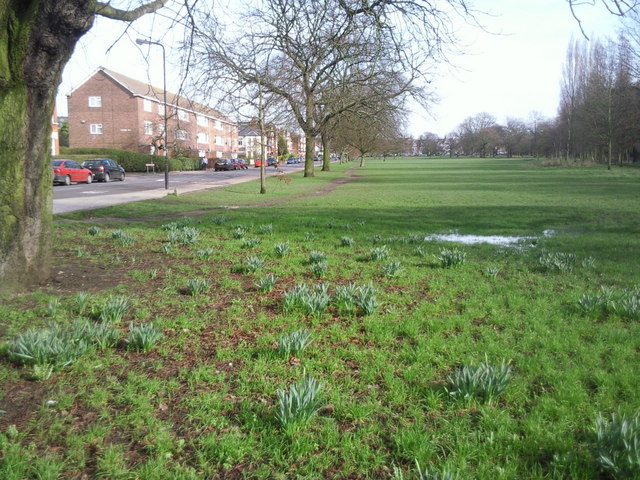
Image: © Marathon Taken: 24 Feb 2011
This is the northernmost part of Tooting Bec Common. The 'Bec' comes from the historic link to Bec Abbey in Normandy. The road on the left is Emmanuel Road and the railway line between Balham and Streatham Hill is beyond the trees to the right. The railway line on its embankment in fact effectively makes this part totally separate from the rest of the Common.
Images are licensed for reuse under creativecommons.org/licenses/by-sa/2.0
Image Location
Latitude
51.441576
Longitude
-0.139253