The mountain road from Rhayader to Cwm Ystwyth at Bodtalog
Introduction
The photograph on this page of The mountain road from Rhayader to Cwm Ystwyth at Bodtalog by John Lucas as part of the Geograph project.
The Geograph project started in 2005 with the aim of publishing, organising and preserving representative images for every square kilometre of Great Britain, Ireland and the Isle of Man.

There are currently over 7.5m images from over 14,400 individuals and you can help contribute to the project by visiting https://www.geograph.org.uk
The mountain road from Rhayader to Cwm Ystwyth at Bodtalog
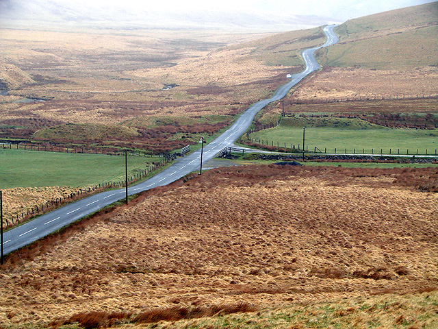
Image: © John Lucas Taken: 1 Apr 2011
Viewed from the lower slopes of Ffos-yr-hwch. Pont Bodtalog and the entrance to Bodtalog farm are in the centre of the view.
Images are licensed for reuse under creativecommons.org/licenses/by-sa/2.0
Image Location
Latitude
52.358262
Longitude
-3.664401