Warsop Energy Park
Introduction
The photograph on this page of Warsop Energy Park by Alan Murray-Rust as part of the Geograph project.
The Geograph project started in 2005 with the aim of publishing, organising and preserving representative images for every square kilometre of Great Britain, Ireland and the Isle of Man.

There are currently over 7.5m images from over 14,400 individuals and you can help contribute to the project by visiting https://www.geograph.org.uk
Warsop Energy Park
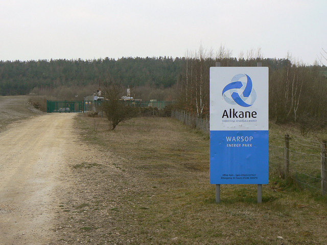
Image: © Alan Murray-Rust Taken: 27 Mar 2011
Small generating station using methane from the former Warsop Main colliery. The sign proclaims 'Harnessing renewable energy', although this cannot be claimed for this site. The methane is still part of the fossil deposit.
Images are licensed for reuse under creativecommons.org/licenses/by-sa/2.0
Image Location
Latitude
53.207296
Longitude
-1.175733