Hills and Holes
Introduction
The photograph on this page of Hills and Holes by Alan Murray-Rust as part of the Geograph project.
The Geograph project started in 2005 with the aim of publishing, organising and preserving representative images for every square kilometre of Great Britain, Ireland and the Isle of Man.

There are currently over 7.5m images from over 14,400 individuals and you can help contribute to the project by visiting https://www.geograph.org.uk
Hills and Holes
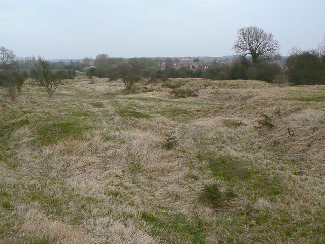
Image: © Alan Murray-Rust Taken: 27 Mar 2011
Not just a fun name dreamt up for Geograph. The name for the area appears as such on the earliest available large scale OS maps from the 1880s, so it is clearly of some antiquity. This was an area of shallow quarrying for the local stone which had clearly been abandoned well before then. Today the area is an SSSI due to its limestone specific flora, considered to be of regional significance.
Images are licensed for reuse under creativecommons.org/licenses/by-sa/2.0
Image Location
Latitude
53.207238
Longitude
-1.167499