River Meden
Introduction
The photograph on this page of River Meden by Alan Murray-Rust as part of the Geograph project.
The Geograph project started in 2005 with the aim of publishing, organising and preserving representative images for every square kilometre of Great Britain, Ireland and the Isle of Man.

There are currently over 7.5m images from over 14,400 individuals and you can help contribute to the project by visiting https://www.geograph.org.uk
River Meden
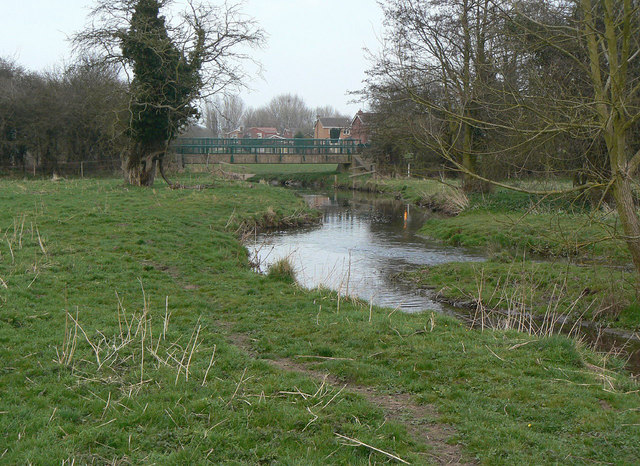
Image: © Alan Murray-Rust Taken: 27 Mar 2011
Looking towards the site of the Stone Bridge. The bridge has this name on older maps and I have found reference to a destroyed pack horse bridge across the Meden which may well have been at this location.
Images are licensed for reuse under creativecommons.org/licenses/by-sa/2.0
Image Location
Latitude
53.206059
Longitude
-1.166024