Dukeries Trail multi-user route
Introduction
The photograph on this page of Dukeries Trail multi-user route by Alan Murray-Rust as part of the Geograph project.
The Geograph project started in 2005 with the aim of publishing, organising and preserving representative images for every square kilometre of Great Britain, Ireland and the Isle of Man.

There are currently over 7.5m images from over 14,400 individuals and you can help contribute to the project by visiting https://www.geograph.org.uk
Dukeries Trail multi-user route
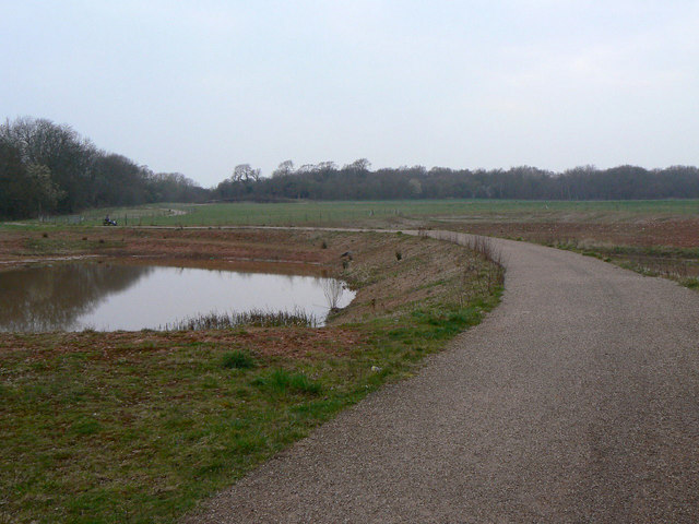
Image: © Alan Murray-Rust Taken: 27 Mar 2011
The route spreads over a number of paths in the neighbourhood of Warsop Vale. The direct route passes to the north of Warsop Vale village.
Images are licensed for reuse under creativecommons.org/licenses/by-sa/2.0
Image Location
Latitude
53.206032
Longitude
-1.188034