Path off the tip
Introduction
The photograph on this page of Path off the tip by Alan Murray-Rust as part of the Geograph project.
The Geograph project started in 2005 with the aim of publishing, organising and preserving representative images for every square kilometre of Great Britain, Ireland and the Isle of Man.

There are currently over 7.5m images from over 14,400 individuals and you can help contribute to the project by visiting https://www.geograph.org.uk
Path off the tip
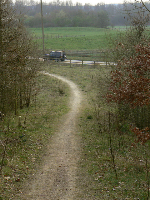
Image: © Alan Murray-Rust Taken: 27 Mar 2011
The area of the former Warsop Main colliery and its spoil heap have been landscaped and opened up as a recreational area with footpaths.
Images are licensed for reuse under creativecommons.org/licenses/by-sa/2.0
Image Location
Latitude
53.208351
Longitude
-1.185445