Warsop Vale
Introduction
The photograph on this page of Warsop Vale by Alan Murray-Rust as part of the Geograph project.
The Geograph project started in 2005 with the aim of publishing, organising and preserving representative images for every square kilometre of Great Britain, Ireland and the Isle of Man.

There are currently over 7.5m images from over 14,400 individuals and you can help contribute to the project by visiting https://www.geograph.org.uk
Warsop Vale
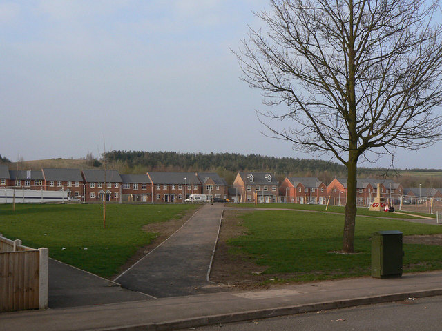
Image: © Alan Murray-Rust Taken: 27 Mar 2011
View across the green from West Street. The north and east sides of the village are being redeveloped with new housing. This is a view looking roughly north north east, so the houses on the north side are on East Street, a nice whimsey continuing the odd naming of the existing streets - West Street on the south side and North Street on the west side. The east side of the village has always been named King Street. The new housing is aimed at revitalised what had become a depressed and desolate community following closure of the local colliery in 1989.
Images are licensed for reuse under creativecommons.org/licenses/by-sa/2.0
Image Location
Latitude
53.205987
Longitude
-1.181447