Former railway bridge in Newton Lane
Introduction
The photograph on this page of Former railway bridge in Newton Lane by John S Turner as part of the Geograph project.
The Geograph project started in 2005 with the aim of publishing, organising and preserving representative images for every square kilometre of Great Britain, Ireland and the Isle of Man.

There are currently over 7.5m images from over 14,400 individuals and you can help contribute to the project by visiting https://www.geograph.org.uk
Former railway bridge in Newton Lane
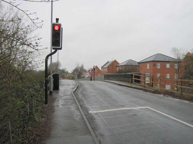
Image: © John S Turner Taken: 30 Mar 2011
Much has changed here over the years - what was once a railway is now a cycleway below the bridge, before weight restrictions the bridge used to be open to two-way traffic, and now apartments have been built on the east side of the road.
Images are licensed for reuse under creativecommons.org/licenses/by-sa/2.0
Image Location
Latitude
53.203327
Longitude
-2.876061