Green near Great Linford
Introduction
The photograph on this page of Green near Great Linford by Derek Harper as part of the Geograph project.
The Geograph project started in 2005 with the aim of publishing, organising and preserving representative images for every square kilometre of Great Britain, Ireland and the Isle of Man.

There are currently over 7.5m images from over 14,400 individuals and you can help contribute to the project by visiting https://www.geograph.org.uk
Green near Great Linford
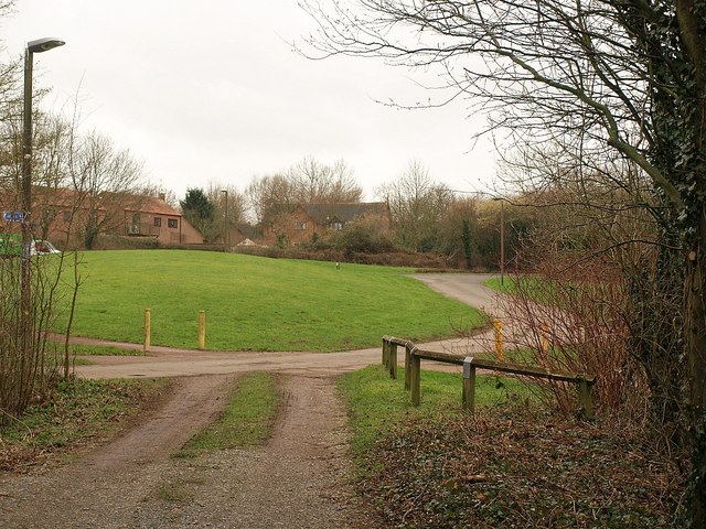
Image: © Derek Harper Taken: 4 Feb 2011
The track in the foreground is about to meet Willen Lane, which curves past the green to reach Marsh Drive, one of principal roads through Great Linford.
Images are licensed for reuse under creativecommons.org/licenses/by-sa/2.0
Image Location
Latitude
52.067664
Longitude
-0.749584