Dual use path, Great Linford
Introduction
The photograph on this page of Dual use path, Great Linford by Derek Harper as part of the Geograph project.
The Geograph project started in 2005 with the aim of publishing, organising and preserving representative images for every square kilometre of Great Britain, Ireland and the Isle of Man.

There are currently over 7.5m images from over 14,400 individuals and you can help contribute to the project by visiting https://www.geograph.org.uk
Dual use path, Great Linford
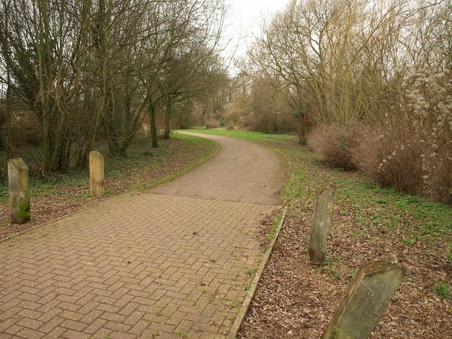
Image: © Derek Harper Taken: 4 Feb 2011
A path and cycle track curves away from the Grand Union Canal towards Willen Lane.
Images are licensed for reuse under creativecommons.org/licenses/by-sa/2.0
Image Location
Latitude
52.06792
Longitude
-0.748264