Caerwent Village Hall
Introduction
The photograph on this page of Caerwent Village Hall by Jaggery as part of the Geograph project.
The Geograph project started in 2005 with the aim of publishing, organising and preserving representative images for every square kilometre of Great Britain, Ireland and the Isle of Man.

There are currently over 7.5m images from over 14,400 individuals and you can help contribute to the project by visiting https://www.geograph.org.uk
Caerwent Village Hall
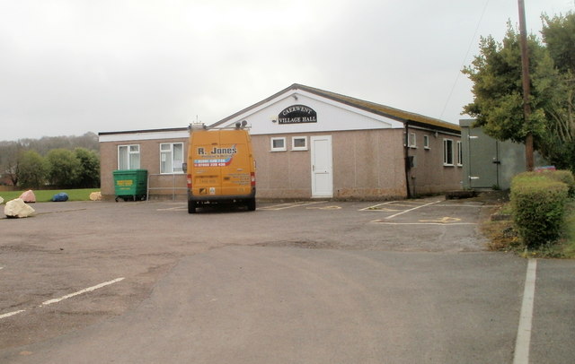
Image: © Jaggery Taken: 31 Mar 2011
Set back from the western side of a road named Highfield. The hall can be booked for various functions. There is a stage, bar and kitchen facilities, and seating at tables for up to 120 people. The hall was opened in 1977.
Images are licensed for reuse under creativecommons.org/licenses/by-sa/2.0
Image Location
Latitude
51.609054
Longitude
-2.762423