Bridge Street
Introduction
The photograph on this page of Bridge Street by John M as part of the Geograph project.
The Geograph project started in 2005 with the aim of publishing, organising and preserving representative images for every square kilometre of Great Britain, Ireland and the Isle of Man.

There are currently over 7.5m images from over 14,400 individuals and you can help contribute to the project by visiting https://www.geograph.org.uk
Bridge Street
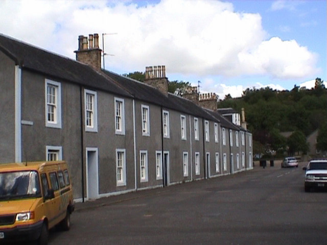
Image: © John M Taken: 30 May 2005
A terrace of mill workers cottages dating from early 1800s. The town was developed utilising water power from the river. The cotton mill at the end of the street burnt down in the 1960s.
Images are licensed for reuse under creativecommons.org/licenses/by-sa/2.0
Image Location
Latitude
55.503731
Longitude
-4.332135