Keil Gardens
Introduction
The photograph on this page of Keil Gardens by Lairich Rig as part of the Geograph project.
The Geograph project started in 2005 with the aim of publishing, organising and preserving representative images for every square kilometre of Great Britain, Ireland and the Isle of Man.

There are currently over 7.5m images from over 14,400 individuals and you can help contribute to the project by visiting https://www.geograph.org.uk
Keil Gardens
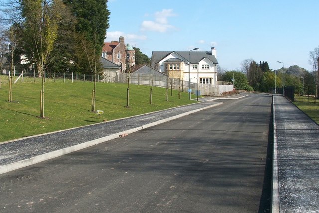
Image: © Lairich Rig Taken: 24 Mar 2011
Keil Gardens is the name of the road. The buildings on the left are part of a housing development, some of it still under construction, called Keil Mansions (an exception is the darker building at the back, which is the Image; it lies outwith the housing development). The grassy area on the left is the same one as appears on the right in Image (the two pictures were taken from roughly the same spot). The area occupied by the housing development was previously part of the grounds of the school; see the link just cited for further details. As mentioned there, a statue of Sir William Mackinnon used to stand on the grass here (it was brought here from Mombasa). After the school closed, the statue was relocated to Campbeltown. Another building that used to be located on that grassy area was Mason House, which was one of several buildings that accommodated the school's boarding pupils. It was named after Mr Mason, the school's first headmaster. Dumbarton Rock can be seen, on the right, in the background of the present photograph.
Images are licensed for reuse under creativecommons.org/licenses/by-sa/2.0
Image Location
Latitude
55.940917
Longitude
-4.583357