The road to Hoswick
Introduction
The photograph on this page of The road to Hoswick by Peter Wyatt as part of the Geograph project.
The Geograph project started in 2005 with the aim of publishing, organising and preserving representative images for every square kilometre of Great Britain, Ireland and the Isle of Man.

There are currently over 7.5m images from over 14,400 individuals and you can help contribute to the project by visiting https://www.geograph.org.uk
The road to Hoswick
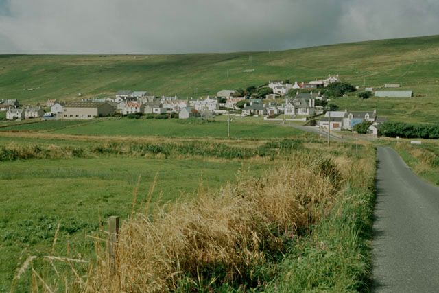
Image: © Peter Wyatt Taken: 27 Aug 2006
This part of Shetland contains several small settlements separated by fields. The road connects Hoswick with neighbouring Stove.
Images are licensed for reuse under creativecommons.org/licenses/by-sa/2.0
Image Location
Latitude
59.998721
Longitude
-1.25064