Road to Lenthay Dairy
Introduction
The photograph on this page of Road to Lenthay Dairy by Nigel Mykura as part of the Geograph project.
The Geograph project started in 2005 with the aim of publishing, organising and preserving representative images for every square kilometre of Great Britain, Ireland and the Isle of Man.

There are currently over 7.5m images from over 14,400 individuals and you can help contribute to the project by visiting https://www.geograph.org.uk
Road to Lenthay Dairy
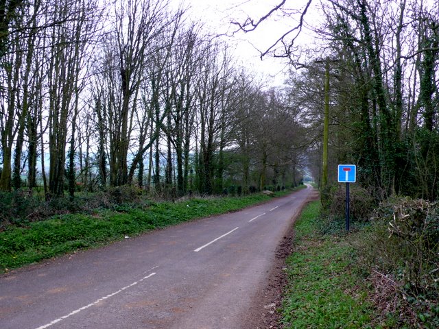
Image: © Nigel Mykura Taken: 29 Mar 2011
This small dead end road runs south from the Sherborne to Bradford Abbas Rd. This is very close to the south east corner of the grid square which is just to the left of the road about 50m beyond the sign.
Images are licensed for reuse under creativecommons.org/licenses/by-sa/2.0
Image Location
Latitude
50.942269
Longitude
-2.542374