Part of Nantmawr Quarry
Introduction
The photograph on this page of Part of Nantmawr Quarry by Jeremy Bolwell as part of the Geograph project.
The Geograph project started in 2005 with the aim of publishing, organising and preserving representative images for every square kilometre of Great Britain, Ireland and the Isle of Man.

There are currently over 7.5m images from over 14,400 individuals and you can help contribute to the project by visiting https://www.geograph.org.uk
Part of Nantmawr Quarry
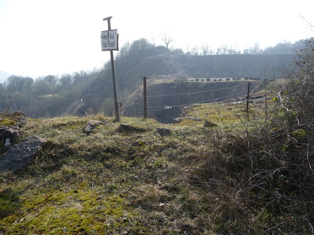
Image: © Jeremy Bolwell Taken: 28 Mar 2011
You cannot get a full view into the quarry from here for obvious reasons but the site looks safe and well maintained. The map marks it as Nantmawr Quarry Mountain Bike Centre and I can only see one piece of evidence for mountain bike use. I hope it is well used. What can you operate within a huge disused quarry? Climbing walls? Rifle range? Clay pigeon shooting? Quad-biking? Paintball combat? Go-karting? Many might work but may well be opposed on noise pollution grounds. Paintball would be a winner I would think...
Images are licensed for reuse under creativecommons.org/licenses/by-sa/2.0
Image Location
Latitude
52.818033
Longitude
-3.112833