Footpath and track beside Nantmawr Quarry
Introduction
The photograph on this page of Footpath and track beside Nantmawr Quarry by Jeremy Bolwell as part of the Geograph project.
The Geograph project started in 2005 with the aim of publishing, organising and preserving representative images for every square kilometre of Great Britain, Ireland and the Isle of Man.

There are currently over 7.5m images from over 14,400 individuals and you can help contribute to the project by visiting https://www.geograph.org.uk
Footpath and track beside Nantmawr Quarry
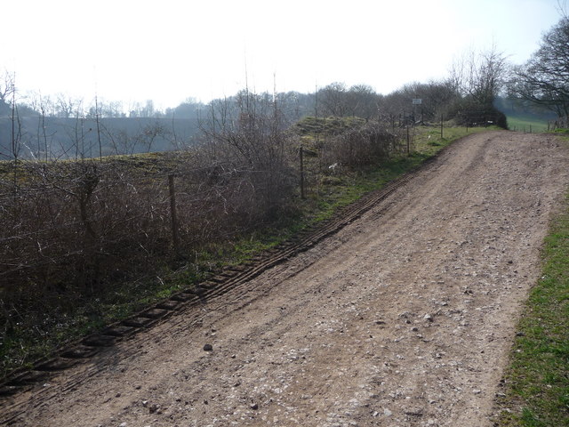
Image: © Jeremy Bolwell Taken: 28 Mar 2011
My walking guidebook explains how this limestone quarry was disused by the 1970's and plans were then afoot "to turn it into an 'equestrian playground' for proitable use". Today the OS 1:25,000 map marks it as Nantmawr Quarry (Mountain Bike Centre). What do you do with a huge hole in the ground? It is so big you could fit both ventures at least into it. It is well fenced for safety.
Images are licensed for reuse under creativecommons.org/licenses/by-sa/2.0
Image Location
Latitude
52.818297
Longitude
-3.113433