Farmland, Watlington
Introduction
The photograph on this page of Farmland, Watlington by Andrew Smith as part of the Geograph project.
The Geograph project started in 2005 with the aim of publishing, organising and preserving representative images for every square kilometre of Great Britain, Ireland and the Isle of Man.

There are currently over 7.5m images from over 14,400 individuals and you can help contribute to the project by visiting https://www.geograph.org.uk
Farmland, Watlington
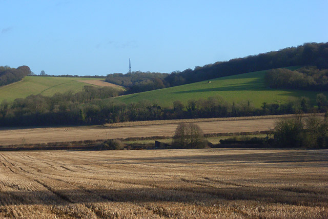
Image: © Andrew Smith Taken: 17 Jan 2009
A view across a field of stubble at the foot of the Chiltern scarp. The mast at Christmas Common is in the background.
Images are licensed for reuse under creativecommons.org/licenses/by-sa/2.0
Image Location
Latitude
51.626389
Longitude
-0.995644