Offa's Dyke Path beside Offa's Dyke in Candy Woods
Introduction
The photograph on this page of Offa's Dyke Path beside Offa's Dyke in Candy Woods by Jeremy Bolwell as part of the Geograph project.
The Geograph project started in 2005 with the aim of publishing, organising and preserving representative images for every square kilometre of Great Britain, Ireland and the Isle of Man.

There are currently over 7.5m images from over 14,400 individuals and you can help contribute to the project by visiting https://www.geograph.org.uk
Offa's Dyke Path beside Offa's Dyke in Candy Woods
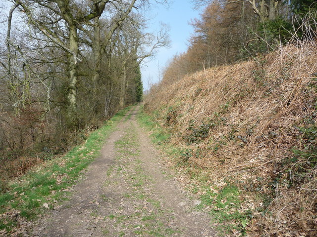
Image: © Jeremy Bolwell Taken: 28 Mar 2011
The dyke is always sited commanding the west, here with wooded slopes to the left / west and overlooking the land towards Llansilin.
Images are licensed for reuse under creativecommons.org/licenses/by-sa/2.0
Image Location
Latitude
52.851774
Longitude
-3.109686