Undulating lowlands north of the Mournes
Introduction
The photograph on this page of Undulating lowlands north of the Mournes by Eric Jones as part of the Geograph project.
The Geograph project started in 2005 with the aim of publishing, organising and preserving representative images for every square kilometre of Great Britain, Ireland and the Isle of Man.

There are currently over 7.5m images from over 14,400 individuals and you can help contribute to the project by visiting https://www.geograph.org.uk
Undulating lowlands north of the Mournes
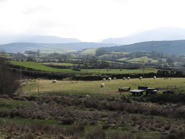
Image: © Eric Jones Taken: 26 Mar 2011
This is an area of glacial deposition characterised by drumlins and kames. This view was taken from Close Road.
Images are licensed for reuse under creativecommons.org/licenses/by-sa/2.0
Image Location
Latitude
54.242612
Longitude
-6.061404