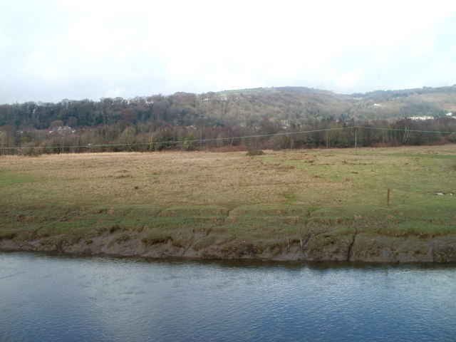
Neath Estuary Grazing Marsh
Introduction
The photograph on this page of Neath Estuary Grazing Marsh by Jaggery as part of the Geograph project.
The Geograph project started in 2005 with the aim of publishing, organising and preserving representative images for every square kilometre of Great Britain, Ireland and the Isle of Man.
There are currently over 7.5m images from over 14,400 individuals and you can help contribute to the project by visiting https://www.geograph.org.uk

Image: © Jaggery Taken: 19 Feb 2011
The north bank of the River Neath viewed from an observation area opposite the junction of Riverside Drive, Prince of Wales Drive and Parr Avenue. An information board in the observation area states: "The view across the Neath Estuary of the grazing marsh may not be the prettiest landscape you have studied. However, grazing marshes have been lost to development and barrage schemes around the UK at such a rate that they are now considered a UK priority habitat and the Neath marsh is surprisingly the third largest relatively undamaged floodplain left in Wales." Among the plants growing in the marsh are sea milkwort, sea aster, glasswort, English scurvygrass and lesser centaury. The birds and animals include goosanders, lapwings, reed buntings, mute swans, swallows and otters.

