House Hill
Introduction
The photograph on this page of House Hill by Andy Farrington as part of the Geograph project.
The Geograph project started in 2005 with the aim of publishing, organising and preserving representative images for every square kilometre of Great Britain, Ireland and the Isle of Man.

There are currently over 7.5m images from over 14,400 individuals and you can help contribute to the project by visiting https://www.geograph.org.uk
House Hill
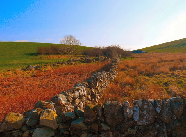
Image: © Andy Farrington Taken: 25 Mar 2011
This stane wall divides House Hill left and Kiln Hill right.
Images are licensed for reuse under creativecommons.org/licenses/by-sa/2.0
Image Location


Leaflet Map data © OpenStreetMap
Latitude
54.965077
Longitude
-4.617967