T-junction at the end of Back Lane
Introduction
The photograph on this page of T-junction at the end of Back Lane by Stuart Logan as part of the Geograph project.
The Geograph project started in 2005 with the aim of publishing, organising and preserving representative images for every square kilometre of Great Britain, Ireland and the Isle of Man.

There are currently over 7.5m images from over 14,400 individuals and you can help contribute to the project by visiting https://www.geograph.org.uk
T-junction at the end of Back Lane
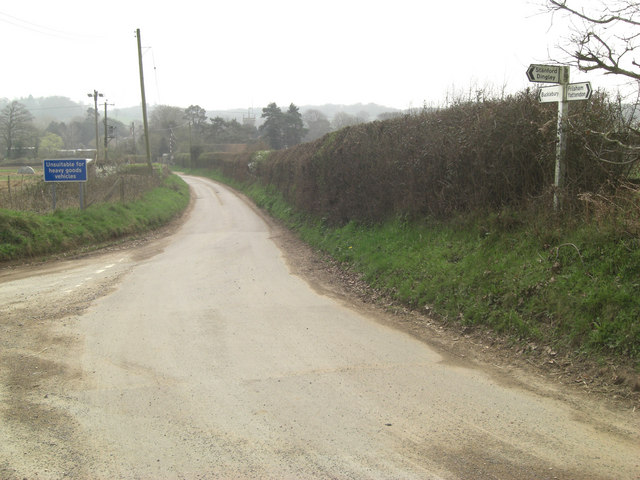
Image: © Stuart Logan Taken: 29 Mar 2011
The road on the left has come west from Stanford Dingley. Users can turn left towards Bucklebury Village, where St Mary's Church spire can be seen in the distance; or right towards the photographer.
Images are licensed for reuse under creativecommons.org/licenses/by-sa/2.0
Image Location
Latitude
51.436928
Longitude
-1.205965