Pollard's Way, Holybrook
Introduction
The photograph on this page of Pollard's Way, Holybrook by Andrew Smith as part of the Geograph project.
The Geograph project started in 2005 with the aim of publishing, organising and preserving representative images for every square kilometre of Great Britain, Ireland and the Isle of Man.

There are currently over 7.5m images from over 14,400 individuals and you can help contribute to the project by visiting https://www.geograph.org.uk
Pollard's Way, Holybrook
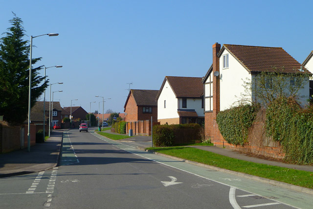
Image: © Andrew Smith Taken: 4 Mar 2011
The road connects Calcot's Beansheaf and Ford's Farm estates. At this point there's a restriction in place, meaning that only buses may proceed into The Chase (behind the photographer).
Images are licensed for reuse under creativecommons.org/licenses/by-sa/2.0
Image Location
Latitude
51.440391
Longitude
-1.043467