A377 at Chenson
Introduction
The photograph on this page of A377 at Chenson by Derek Harper as part of the Geograph project.
The Geograph project started in 2005 with the aim of publishing, organising and preserving representative images for every square kilometre of Great Britain, Ireland and the Isle of Man.

There are currently over 7.5m images from over 14,400 individuals and you can help contribute to the project by visiting https://www.geograph.org.uk
A377 at Chenson
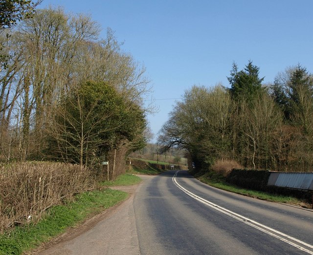
Image: © Derek Harper Taken: 23 Mar 2011
The main road passes Churchpath Wood on the left, and then runs beside a narrow belt of woodland on the right.
Images are licensed for reuse under creativecommons.org/licenses/by-sa/2.0
Image Location
Latitude
50.87148
Longitude
-3.845098