Debdale Farm
Introduction
The photograph on this page of Debdale Farm by Gerald England as part of the Geograph project.
The Geograph project started in 2005 with the aim of publishing, organising and preserving representative images for every square kilometre of Great Britain, Ireland and the Isle of Man.

There are currently over 7.5m images from over 14,400 individuals and you can help contribute to the project by visiting https://www.geograph.org.uk
Debdale Farm
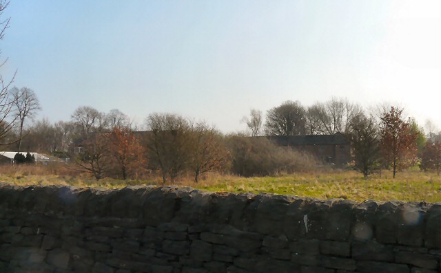
Image: © Gerald England Taken: 28 Mar 2011
The now converted and modernised farmhouse and buildings are situated off Kings Road just 100 yards along Cornhill Lane. The dating of the farm is not specific as it appears on the Yates 1786 map as a part of a large farming estate; however it is later named on an OS map of 1875. The farm's acreage might have been around 50 acres up to the 1870s. The access to the farm originally would have been from Debdale Lane, as prior to the 1870s there was no Kings Road. The Manchester Corporation Water Works constructed Kings Road as an access during the building of the Audenshaw reservoirs in the 1880s. In the late 1980s the now North West Water Authority sold off the properties on Cornhill Lane, and a private developer purchased Debdale Farm house and buildings and converted them into separate dwellings. After the formation of Denton Golf Club in 1909 much of the land at Debdale Farm was absorbed in the construction of the new golf course. http://web.archive.org/web/20080905142123/http://www.audenshawlocalhistory.org/page41a.html
Images are licensed for reuse under creativecommons.org/licenses/by-sa/2.0
Image Location
Latitude
53.462275
Longitude
-2.146813