Fortrose Caravan and Camping site
Introduction
The photograph on this page of Fortrose Caravan and Camping site by Nick Forwood as part of the Geograph project.
The Geograph project started in 2005 with the aim of publishing, organising and preserving representative images for every square kilometre of Great Britain, Ireland and the Isle of Man.

There are currently over 7.5m images from over 14,400 individuals and you can help contribute to the project by visiting https://www.geograph.org.uk
Fortrose Caravan and Camping site
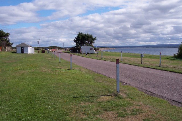
Image: © Nick Forwood Taken: 4 Sep 2006
This site is within a few metres of the beach and with stunning views. In the background of this photo, you can see Chanonry Ness and the lighthouse overlooking the Moray Firth.
Images are licensed for reuse under creativecommons.org/licenses/by-sa/2.0
Image Location
Latitude
57.578081
Longitude
-4.117084