Picnic Area, Risley Moss
Introduction
The photograph on this page of Picnic Area, Risley Moss by David Dixon as part of the Geograph project.
The Geograph project started in 2005 with the aim of publishing, organising and preserving representative images for every square kilometre of Great Britain, Ireland and the Isle of Man.

There are currently over 7.5m images from over 14,400 individuals and you can help contribute to the project by visiting https://www.geograph.org.uk
Picnic Area, Risley Moss
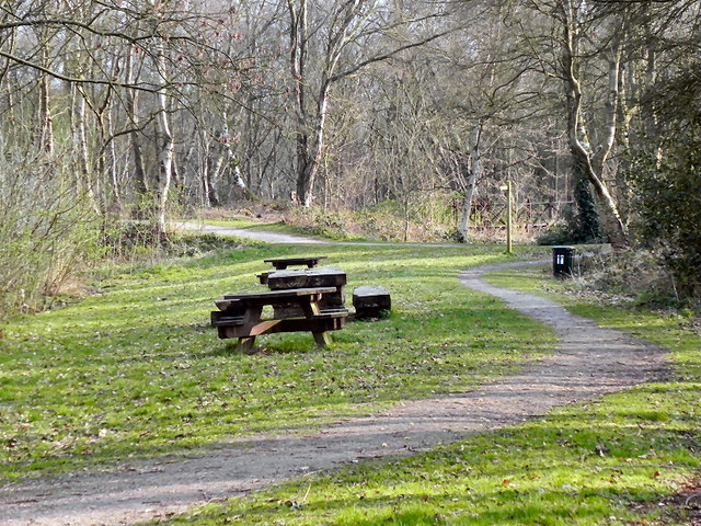
Image: © David Dixon Taken: 28 Mar 2011
Originally, Risley Moss was one of the large series of mosses to the west of Manchester and at some point late in the late 19th or early in the 20th century, a peat cutting industry began in the mossland. Peat cutting on Risley Moss continued until about 1930. Part of Risley Moss was within the area that was compulsorily purchased for the Royal Ordnance Factory in 1939. It wasn't built on, because of the soft ground, but there was a large area of railway sidings on the edge of the moss and it was also used for dumping and possibly some testing. Afterwards it was left in a derelict and degraded state until the early 1970s. A detailed study of Risley Moss was conducted in 1972 by the newly created Warrington New Town Nature Conservation Group and Risley Moss Nature Reserve was officially opened in September 1980 by David Bellamy. Today, Risley Moss is owned and managed by Warrington Borough Council Ranger Service in partnership with the Risley Moss Action Group. It is both a Local Nature Reserve (LNR) and Site of special Scientific Interest (SSSI). http://www.2eimages.co.uk/places/birchwood/moss/index.htm
Images are licensed for reuse under creativecommons.org/licenses/by-sa/2.0
Image Location
Latitude
53.424531
Longitude
-2.50574