Path Alongside Birchwood Brook
Introduction
The photograph on this page of Path Alongside Birchwood Brook by David Dixon as part of the Geograph project.
The Geograph project started in 2005 with the aim of publishing, organising and preserving representative images for every square kilometre of Great Britain, Ireland and the Isle of Man.

There are currently over 7.5m images from over 14,400 individuals and you can help contribute to the project by visiting https://www.geograph.org.uk
Path Alongside Birchwood Brook
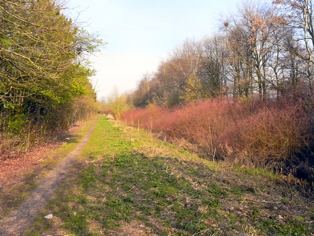
Image: © David Dixon Taken: 28 Mar 2011
Birchwood Brook is mostly hidden beneath the vegetation to the right. Behind the bushes on the left is Dewhurst Road and the Birchwood Centre, whilst the railway line is behind the trees on the right hand side.
Images are licensed for reuse under creativecommons.org/licenses/by-sa/2.0
Image Location
Latitude
53.412291
Longitude
-2.528131