A country cul-de-sac
Introduction
The photograph on this page of A country cul-de-sac by Stuart Logan as part of the Geograph project.
The Geograph project started in 2005 with the aim of publishing, organising and preserving representative images for every square kilometre of Great Britain, Ireland and the Isle of Man.

There are currently over 7.5m images from over 14,400 individuals and you can help contribute to the project by visiting https://www.geograph.org.uk
A country cul-de-sac
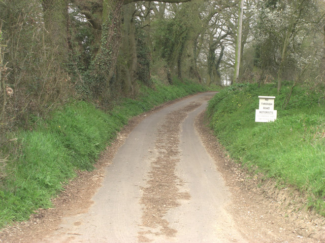
Image: © Stuart Logan Taken: 29 Mar 2011
A short but pretty lane winds northwards to the superb Old Hawkridge House and then becomes BUCK/18/6. This wooded path offers several options as it crosses a network of paths which traverse the high woodland.
Images are licensed for reuse under creativecommons.org/licenses/by-sa/2.0
Image Location
Latitude
51.4371
Longitude
-1.204811