Spearing Road, Castlefield estate
Introduction
The photograph on this page of Spearing Road, Castlefield estate by Craig as part of the Geograph project.
The Geograph project started in 2005 with the aim of publishing, organising and preserving representative images for every square kilometre of Great Britain, Ireland and the Isle of Man.

There are currently over 7.5m images from over 14,400 individuals and you can help contribute to the project by visiting https://www.geograph.org.uk
Spearing Road, Castlefield estate
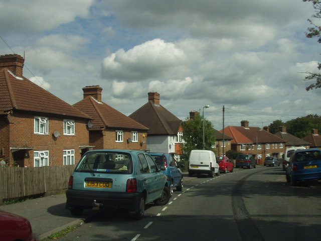
Image: © Craig Taken: 4 Sep 2006
A crescent shaped road in a large housing estate which forms part of the western suburbs of Wycombe. The area houses a predominantly muslim community and contains many local facilities including a shopping parade, mosque, community centre, library and park.
Images are licensed for reuse under creativecommons.org/licenses/by-sa/2.0
Image Location
Latitude
51.624984
Longitude
-0.780714