Upper Matlock Bath
Introduction
The photograph on this page of Upper Matlock Bath by Alan Murray-Rust as part of the Geograph project.
The Geograph project started in 2005 with the aim of publishing, organising and preserving representative images for every square kilometre of Great Britain, Ireland and the Isle of Man.

There are currently over 7.5m images from over 14,400 individuals and you can help contribute to the project by visiting https://www.geograph.org.uk
Upper Matlock Bath
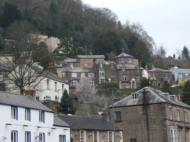
Image: © Alan Murray-Rust Taken: 26 Mar 2011
Clearly visible are the Round House (which is in fact octagonal) http://www.geograph.org.uk/photo/2325975 and 'Lower Towers', the castellated rendered building top left. Both of these date from the Regency period and are Listed Grade II.
Images are licensed for reuse under creativecommons.org/licenses/by-sa/2.0
Image Location
Latitude
53.12206
Longitude
-1.56259