Grove Park Playing Fields, Hale, Cheshire
Introduction
The photograph on this page of Grove Park Playing Fields, Hale, Cheshire by Anthony O'Neil as part of the Geograph project.
The Geograph project started in 2005 with the aim of publishing, organising and preserving representative images for every square kilometre of Great Britain, Ireland and the Isle of Man.

There are currently over 7.5m images from over 14,400 individuals and you can help contribute to the project by visiting https://www.geograph.org.uk
Grove Park Playing Fields, Hale, Cheshire
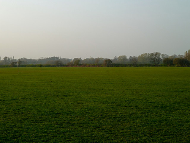
Image: © Anthony O'Neil Taken: 28 Mar 2011
In the 19th Century, this now lush green space was the site a large brick works. After the Second World War, it became waste ground covered in shrubs, vegetation and weeds with a large, deep lake formed from the flooded clay pits. Although somewhat hazardous, it was popular with fishermen and as a wild play area for local children.
Images are licensed for reuse under creativecommons.org/licenses/by-sa/2.0
Image Location
Latitude
53.384614
Longitude
-2.32786