The Knock River, Belfast (3)
Introduction
The photograph on this page of The Knock River, Belfast (3) by Albert Bridge as part of the Geograph project.
The Geograph project started in 2005 with the aim of publishing, organising and preserving representative images for every square kilometre of Great Britain, Ireland and the Isle of Man.

There are currently over 7.5m images from over 14,400 individuals and you can help contribute to the project by visiting https://www.geograph.org.uk
The Knock River, Belfast (3)
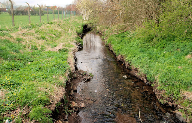
Image: © Albert Bridge Taken: 28 Mar 2011
See Image The view downstream from this footbridge Image The Dixon Park playing fields are on the left. The area is included in the Connswater Greenway project. Continue to Image Image shows a similar view in November 2016 after completion of the Connswater Greenway works.
Images are licensed for reuse under creativecommons.org/licenses/by-sa/2.0
Image Location
Latitude
54.589558
Longitude
-5.886372